3D SITE MAPPING AND POI
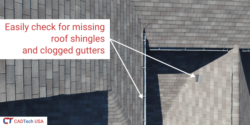
Digital 3D site mapping is the process of capturing aerial imagery and converting them to highly accurate georeferenced 3D models in software. Our aerial 3D scanning solution is capable of collecting high-resolution imagery for generating precise digital maps with precision under 10 cm. Digital site mapping is used for land management, efficient asset management, and locating structures on a site. It gives companies a cost-effective way of mapping, visualizing and optimizing key infrastructure on a site. It also allows them to properly plan for transportation routes, site runoffs and any contingencies that may be required.
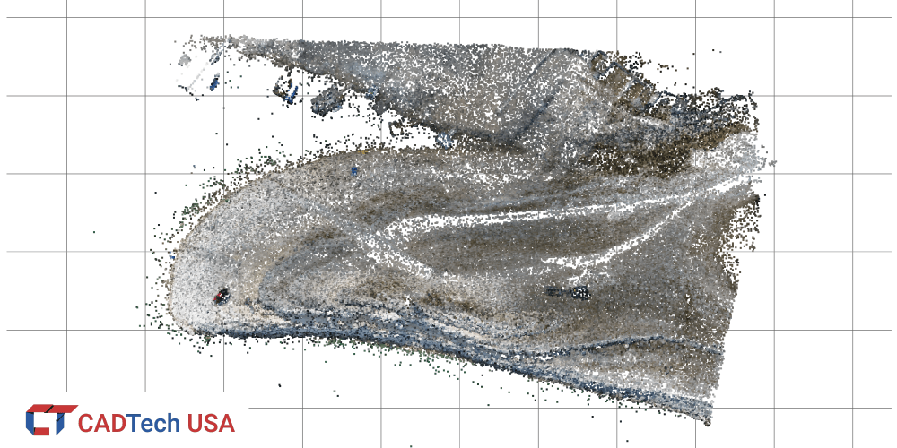
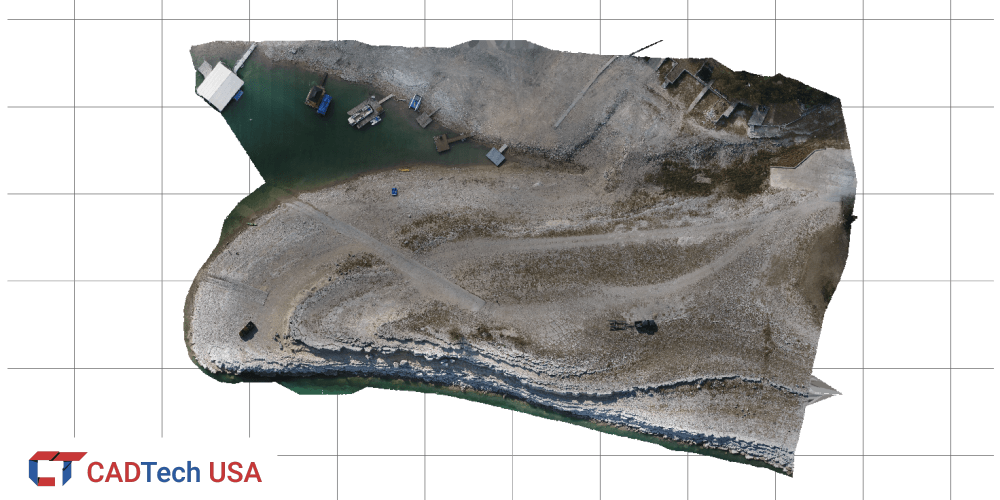
Another use case of aerial 3D scanning is for surveying construction sites to calculate volume of excavated material and material fill. It also allows remotely calculating stockpile quantities on the site. This option of quickly calculating volume and stockpile quantities from 3D scanned data has huge time-saving benefits. Our ability to 3D scan and map construction sites using aerial drones allows us to quickly provide site volumes and quantities to our client. Our solution is also very cost effective when compared to traditional surveying and data collection methods.
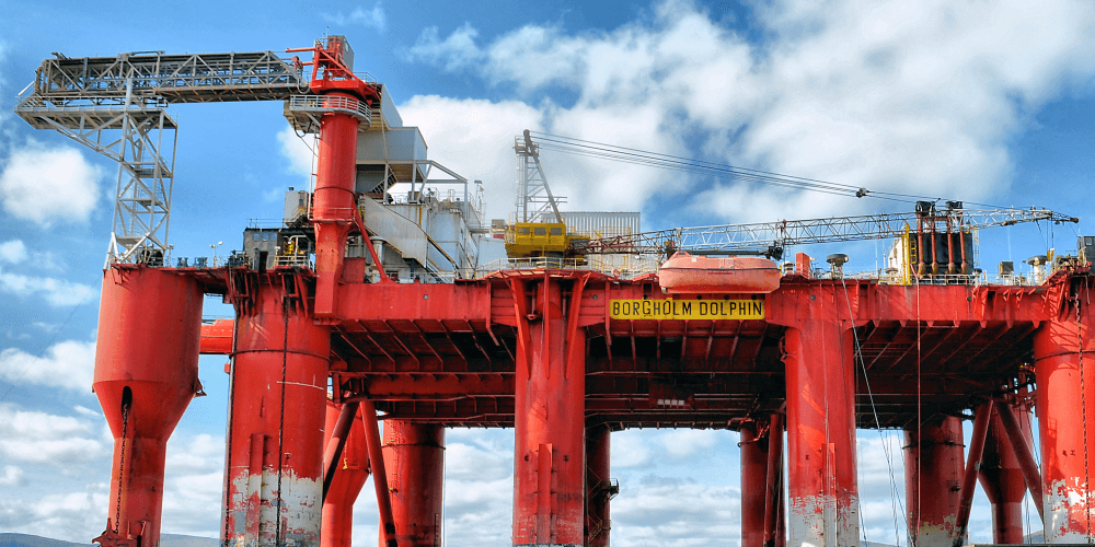
Together with digital site mapping, our drones can be utilized to scan and create 3D models of Points of Interest (POI) for detailed viewing. Points of Interest can be buildings, monuments and statues, and other structures. Our POI scanning services are used in conjunction with our portable 3D scanners for objects that are hard to reach, or when the size exceeds the scanning volume of our portable scanners.
We also provide Scan-to-CAD services for our POI solution. The Scan-to-CAD solution is mainly for extracting and reverse modeling architectural features of building façades and monuments. This can be very helpful in restoring architecture and heritage sites around the globe which are deteriorating or has suffered damage due to either increase in tourism traffic, change in weather or political and civil unrest. Our Scan-to-CAD solution can greatly reduce time in restoration of architectural and heritage projects by providing engineers and designers a reference of the design, and allowing them to reverse engineer specific and intricate parts of the facade for restoration and repair of damaged areas.
For more information on our Digital 3D site mapping and POI services, please contact us by using the link provided below.